The Ancient Ridgeway path runs along the edge of the Chiltern hills, from Ivinghoe Beacon in Buckinghamshire, to Avebury in Wiltshire, while also passing through the counties of Oxfordshire, Berkshire.
The section I walked in 2004 ran from Streatley, where the ridgeway crosses the River Thames, to Avebury, just under 50 miles in total.
One of the oldest pathways used by man in Europe, the ridgeway was used by Mammoths roaming the tundra duing the last ice age. It is steped in history, with ancient Neolithic Burial mounds, Bronze and Iron age Hillforts, chalk figures, and of course the famous ringed stone sanctuary of Avebury.
The map below shows the path walked and the three nights camping spots along the way.


Not an optimistic start to the walk with recent rain fall!
 With a heavy pack, some area's needed care in navigating, but at least the sun kept shinning!
 Once onto the higher ground, the path cleared and dried out!
 Some lovely views over Oxfordshire can be seen once up on the ridgeway!

Chalk pathways worn by age and weather.

Murandering path through green hills.
 Unexpected wall murials in an underpass.

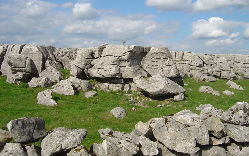
 A flint/chert memorial at the side of the Ridgeway.
 Fertial farmlands.
 Parts of the Ridgeway are Byways, which means it gets used by all sorts of off road vehicles!
 A view of Oxfordshire with the Didcot power station in the distance.
 Wide furrows from vehicle use! Some sections can be very wide.
 First nights camp!
 Out of now where, 4 French students staying in a nearby youth hosel joinded me for the night, a lovely evening spent trying to comunicate in broken French and English, and even better when they went back to the hostel and returned with lots of French food and water they didnt eat for there short stay here!
 Day 2, a Pamaramic view on the way to Segsbury Hillfort.
 A little damp in the morning, but the day looks promising with some French cuisine inside me!

Staying on track!
 Ramparts of Segsbury Hillfort.
 On the way to Uffington Hillfort, Uffington White Horse, and Wayland Smithy Long Barrow.
 Enterance to Wayland Smithy Long Barrow.

 Panaramic of Wayland Smithy Long Barrow.
 Second nights camp at Fox hill.

Day 3, back on the low ground on the way to Liddington Hill Hillfort.

Back on the higher ground.

Liddington Hillfort ramparts.
 On the way to Ogbourne St George.


After a pub lunch in Ogbourne St George, I met some fellow walkers of the Ridgeway heading in the same direction.
 A meeting of minds at Barbury Hill Hillfort. I join up with fellow walkers, Nick, Phil and Keto the dog.
 After deciding to camp out together for the final leg tomorrow, we kick up a large fire overlooking the Avebury basin.
 A Roaster of a fire.


 Day 4, The short walk to Avebury. The first sign of the end goal is in sight. One of the standing Sarsen stones.
 Avebury in sight!
 Decending into Avebury! A very welcome sight indeed!
 Phil and Keto resting before a pub meal!
 The Red Lion pub in Avebury, the centre and meeting point for many a wonderer, and some cracking food to boot!
 Back at the start after a joint cab ride with Nick and Phil.